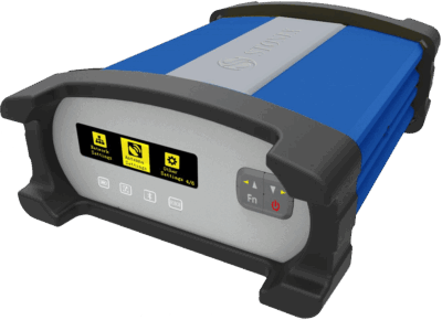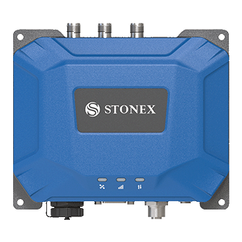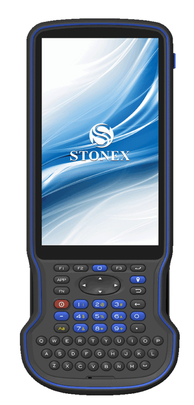
Stonex Cube-a GPS v7.x is an advanced GNSS field software designed for surveying, mapping, and construction applications. Built to work seamlessly with Stonex GNSS receivers and controllers, Cube-a delivers a powerful and intuitive platform for managing all aspects of field data collection and positioning.
With full support for RTK positioning, GNSS data acquisition, and site set-out, Cube-a enables surveyors to perform tasks efficiently and accurately in real time. The software integrates GNSS data with intuitive workflows, making it suitable for both experienced professionals and new users.
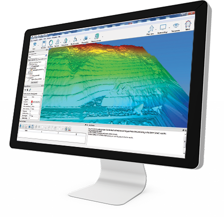
Cube-a v7.x supports a wide range of surveying functions, including topographic surveys, stakeout, coordinate geometry (COGO), and data management. Its modern interface ensures ease of use while maintaining high performance in demanding field environments.
Designed for flexibility, Cube-a can integrate with total stations and GNSS systems, allowing users to manage multiple data sources within a single platform. This makes it ideal for complex surveying projects requiring seamless data integration.
⚙️ Key Features
- Advanced GNSS survey and data collection software
- Supports RTK positioning and real-time workflows
- Functions include stakeout, topo survey and COGO
- Compatible with Stonex GNSS receivers and controllers
- Integration with GNSS and total station data
- Intuitive interface for efficient field operation
- Optimised for construction, mapping and surveying
🌍 Applications
- GNSS and GPS surveying
- Construction site set-out
- Mapping and data collection
- Civil engineering projects
- Infrastructure and land development
- Mining and environmental surveys
🔌 Why Choose Stonex Cube-a v7.x?
The Cube-a GPS software provides a complete field solution for GNSS surveying, combining powerful functionality with ease of use. It helps streamline workflows, improve accuracy, and increase productivity across all surveying applications.