Introduction
As project sites grow larger and more complex, maintaining consistent and accurate GNSS positioning across the entire area becomes increasingly difficult. Traditional RTK setups—tripods, temporary bases, or reliance on mobile networks—often fall short in remote or large-scale environments.
This is where containerised RTK base stations are changing the game.
By combining high-powered GNSS equipment, solar energy systems, battery storage, and secure housing into one integrated unit, containerised RTK bases provide a reliable, scalable, and long-term solution for site-wide positioning.
What Is a Containerised RTK Base Station?
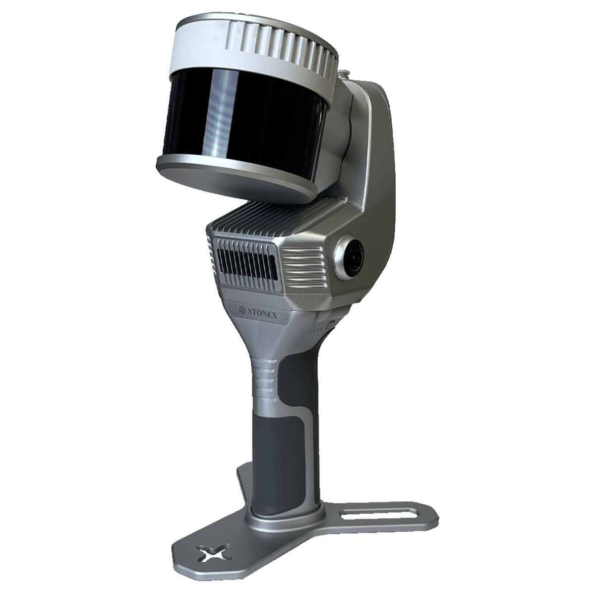
A containerised RTK base station is a fully self-contained positioning hub built inside a secure enclosure—typically a modified shipping container or rugged site cabinet.
Instead of assembling multiple components in the field, everything is pre-configured into one system, including:
- GNSS base receiver
- High-powered radio transmission system
- Solar panels and charge controllers
- Lithium battery storage
- Power inverter and distribution
- Antenna infrastructure
The result is a plug-and-play RTK solution that can be deployed quickly and operate independently in remote conditions.
Why Traditional RTK Setups Fall Short
On smaller sites, a standard RTK base and rover setup may be sufficient. But as projects scale, several limitations become apparent:
1. Limited Coverage
Tripod-based systems often struggle to maintain consistent correction signals over large areas, especially with terrain obstacles.
2. Reliance on Mobile Networks
NTRIP corrections require stable internet access—something not always available on remote sites.
3. Power Constraints
Temporary setups rely on batteries that require frequent charging or generator support.
4. Equipment Vulnerability
Unprotected systems are exposed to weather, theft, and accidental damage.
The Advantages of a Containerised RTK Base
1. Site-Wide Coverage
Containerised systems are designed with high-powered radios and optimised antenna placement, allowing corrections to reach across large project areas.
This ensures:
- Consistent positioning accuracy
- Reduced need for multiple base stations
- Improved productivity across teams and machines
2. Solar-Powered Independence
One of the biggest advantages is off-grid capability.
With integrated solar panels and battery storage, the system can:
- Operate without external power
- Reduce generator usage
- Maintain continuous uptime
- Lower long-term operating costs
This is critical for remote, temporary, or infrastructure-limited sites.
3. Integrated Power for Site Operations
Unlike standard RTK bases, containerised systems often include inverter-powered outputs, allowing teams to:
- Charge tool batteries
- Power small equipment
- Support daily site operations
This transforms the base station into a multi-purpose site asset, not just a positioning tool.
4. Security and Durability
Housing the system in a container provides:
- Protection from harsh weather conditions
- Reduced risk of theft or tampering
- Organised equipment layout
- Safer long-term deployment
For mining and civil environments, this level of protection is essential.
5. Long-Term Deployment Capability
Containerised bases are built for extended use, making them ideal for:
- Multi-month or multi-year projects
- Permanent or semi-permanent installations
- Sites where repositioning is minimal
Once deployed, they require minimal intervention.
Key Applications
Containerised RTK base stations are particularly valuable in industries where scale, reliability, and remote operation are critical.
Mining & Resources
- Large open-cut and underground operations
- Machine guidance and positioning
- Remote exploration sites
Civil Construction
- Road and infrastructure projects
- Bulk earthworks
- Subdivision developments
Agriculture
- Precision farming and machine guidance
- Large property coverage
Surveying & Geospatial
- Control networks
- Long-term survey projects
- Remote data collection operations
How It Improves Site Productivity
A well-designed RTK base system directly impacts efficiency:
- Less downtime from lost corrections
- Fewer setup requirements for field crews
- Improved machine accuracy
- Reduced rework
- Centralised control of positioning data
By stabilising the positioning backbone of a project, teams can work faster and with greater confidence.
Why QuipTech’s Container RTK Base Stands Out
The system offered by QuipTech Solutions is designed specifically for Australian conditions and large-scale projects.
It integrates professional-grade components such as:
- High-performance GNSS receivers
- Powerful radio transmission systems
- Solar energy infrastructure
- Lithium battery storage
- Robust internal layout for practical site use
More importantly, it is engineered not just as a GNSS solution—but as a complete site support system.
When Should You Consider a Containerised RTK Base?
You should consider this type of solution if your project involves:
- Large site areas requiring consistent coverage
- Limited or unreliable mobile network access
- Long-term project duration
- Remote or off-grid environments
- Multiple crews or machines relying on RTK
If any of these apply, a containerised base station can significantly improve both performance and efficiency.
Conclusion
As projects continue to scale and move further into remote environments, the need for reliable, independent, and high-coverage RTK solutions becomes critical.
Containerised RTK base stations offer a clear evolution from traditional setups—providing:
- Greater coverage
- Better reliability
- Integrated power
- Improved site efficiency
For companies looking to future-proof their positioning infrastructure, this is no longer a luxury—it’s a strategic advantage.