3D Scanning
Collect in minutes millions of points, recording your urban environment with Stonex Laser Scanners. Laser Scanner and GPS integration will speed up your 3D scans georeferentiation and integration with existing GIS data.
Cube-3d Software will help you in reconstructing wide areas in the virtual model, and performing segmentation and classification of buildings, signs, trees, etc.
Integrated models can also easily be created by combining Laser scanner point clouds, photos, photogrammetric models, thermal images, Satellite/Aerial imagery.
Collect point clouds in minutes
Fast return on investment, thanks to improved productivity
Robust and durable equipment
Powerful data management software
-
Stonex SA3G+C GNSS Reference Antenna | High Precision Geodetic Antenna
$4,998.00 -
Stonex SA1100 Mini Choke Ring Antenna | Compact High Precision GNSS Antenna
$2,730.00 -
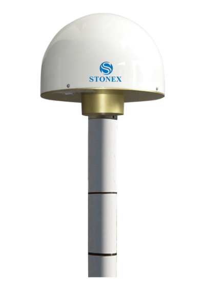
Stonex SA1500 2D Choke Ring Antenna | High Precision GNSS Antenna
$3,920.00 -
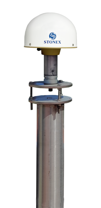
Stonex SA1800 3D Choke Ring Antenna | High Precision GNSS Antenna
$11,175.00


