3D Scanning
Collect in minutes millions of points, recording your urban environment with Stonex Laser Scanners. Laser Scanner and GPS integration will speed up your 3D scans georeferentiation and integration with existing GIS data.
Cube-3d Software will help you in reconstructing wide areas in the virtual model, and performing segmentation and classification of buildings, signs, trees, etc.
Integrated models can also easily be created by combining Laser scanner point clouds, photos, photogrammetric models, thermal images, Satellite/Aerial imagery.
Collect point clouds in minutes
Fast return on investment, thanks to improved productivity
Robust and durable equipment
Powerful data management software
-
Stonex S80 Rugged Tablet | Android 13 Survey Tablet with 800 Nits Display
$5,180.00 -
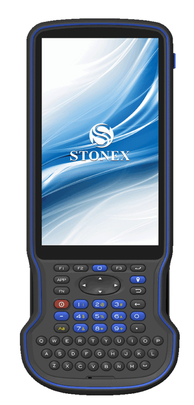
Stonex S55 GNSS Controller | Android 12 Survey Controller with Full Keyboard
$4,060.00 -
UHF Antenna Kit AR-600 | GNSS Radio Antenna Kit for RTK Survey Systems
$73.50 -
UHF Antenna 430–470MHz AR-100 | Compact TNC GNSS Radio Antenna 10cm
$70.00


