3D Scanning
Collect in minutes millions of points, recording your urban environment with Stonex Laser Scanners. Laser Scanner and GPS integration will speed up your 3D scans georeferentiation and integration with existing GIS data.
Cube-3d Software will help you in reconstructing wide areas in the virtual model, and performing segmentation and classification of buildings, signs, trees, etc.
Integrated models can also easily be created by combining Laser scanner point clouds, photos, photogrammetric models, thermal images, Satellite/Aerial imagery.
Collect point clouds in minutes
Fast return on investment, thanks to improved productivity
Robust and durable equipment
Powerful data management software
-
Survey Tripod Aluminum 1.60m | Twist Clamp Tripod TA-160 for GNSS & Total Stations
$196.00 -
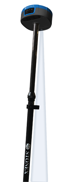
Stonex S880 GNSS Receiver
$6,580.00 -
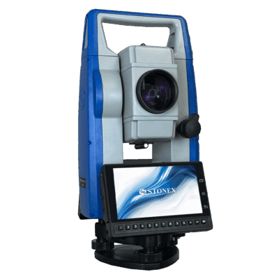
Stonex R40 Android Total Station | 1”/2” Accuracy, 5000m Range, GSM & Bluetooth
$9,100.00 -
Stonex S880 Camera Calibration Panel 100x100cm | GNSS & Survey Target Board
$1,120.00


