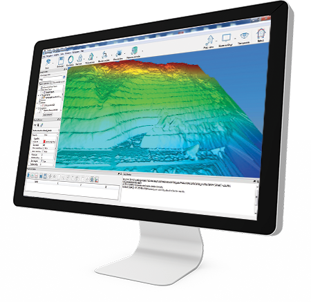
Stonex Cube-a GIS v7.x is a powerful and intuitive software solution designed for GNSS-based GIS data collection, mapping, and asset management. Built for use with Stonex GNSS receivers and controllers, it enables efficient and accurate capture of spatial data in the field.
Optimised for GIS workflows, Cube-a GIS allows users to collect, manage, and export geospatial data with ease. It supports real-time positioning and integrates seamlessly with GNSS systems, ensuring high accuracy for mapping and data collection tasks.
The software is ideal for professionals working in utilities, infrastructure, environmental monitoring, and asset management, providing tools for structured data capture and efficient field operations. Its user-friendly interface simplifies workflows, allowing users to quickly collect and manage geographic information.
Cube-a GIS v7.x supports flexible data formats and integrates with external systems, making it easy to transfer collected data into office-based GIS platforms for further analysis and reporting.
⚙️ Key Features
- Advanced GNSS GIS data collection software
- Designed for mapping and asset management workflows
- Supports real-time GNSS positioning
- Easy data capture, management and export
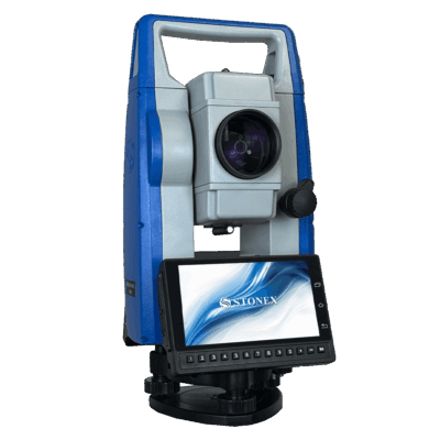
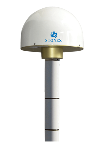
- Compatible with Stonex GNSS receivers and controllers
- User-friendly interface for efficient field operations
- Flexible integration with GIS platforms and systems
🌍 Applications
- GIS data collection and mapping
- Asset management and utilities
- Environmental and land surveys
- Infrastructure and civil projects
- Government and municipal mapping
- Mining and resource management
🔌 Why Choose Stonex Cube-a GIS v7.x?
The Cube-a GIS software provides a streamlined solution for collecting and managing geospatial data. It delivers accuracy, efficiency, and flexibility for professionals working in GIS and mapping applications.